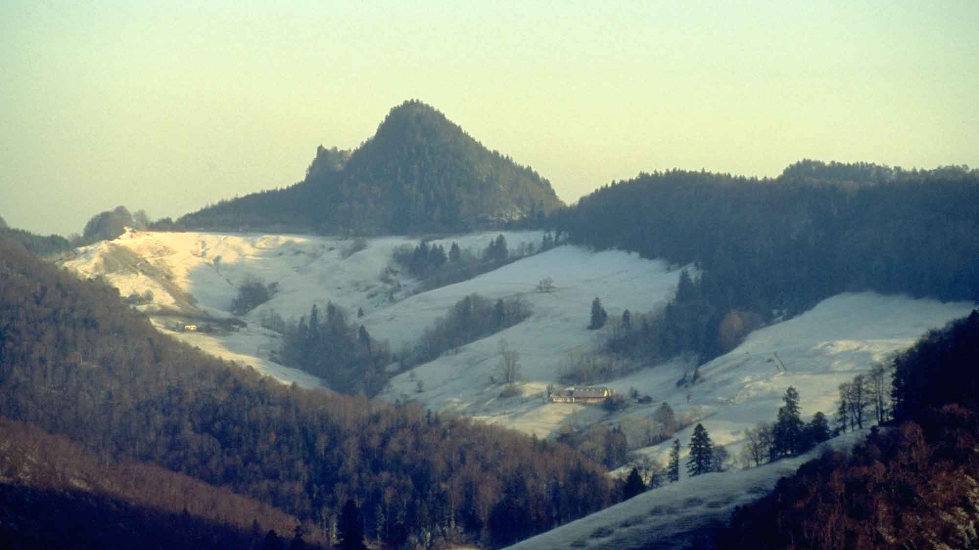
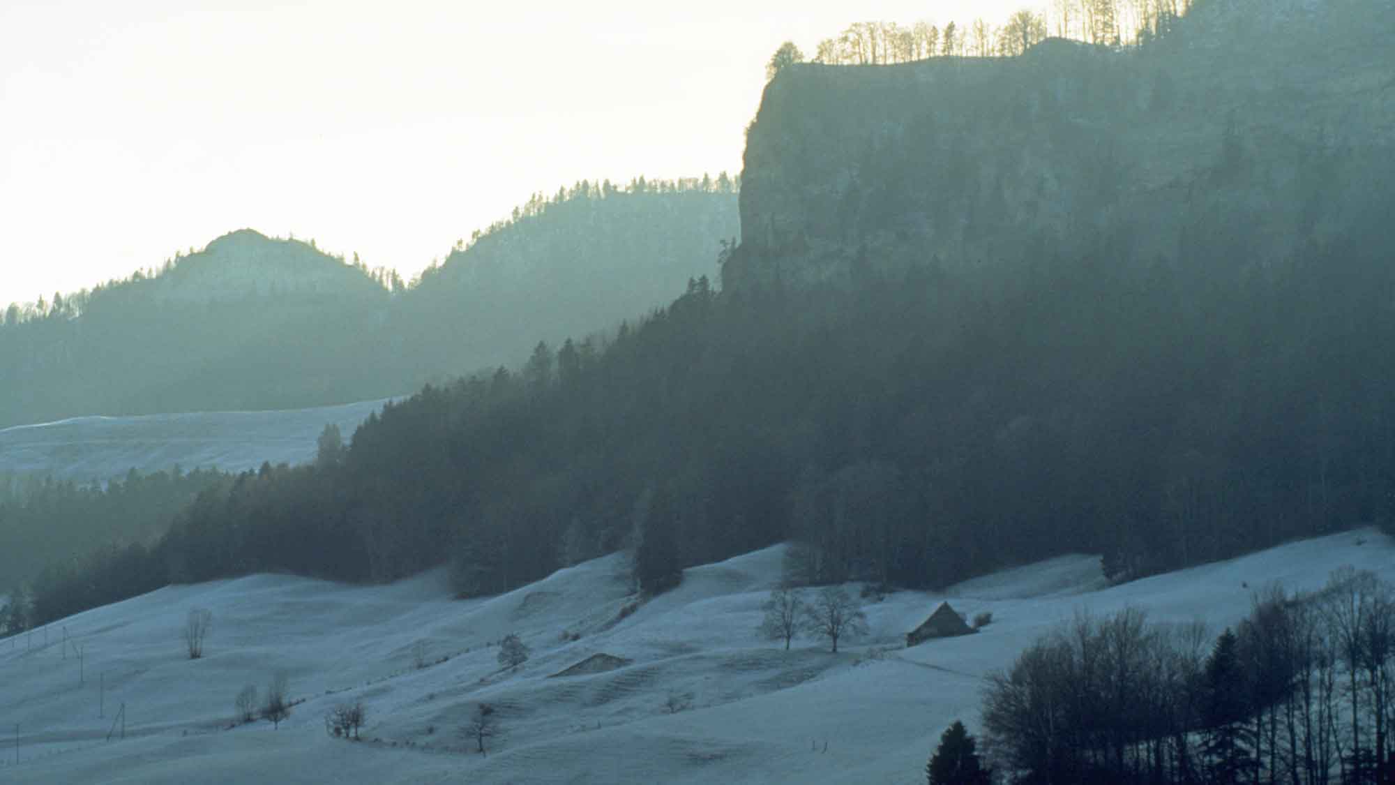
The Belchenfluh: romantic and wild
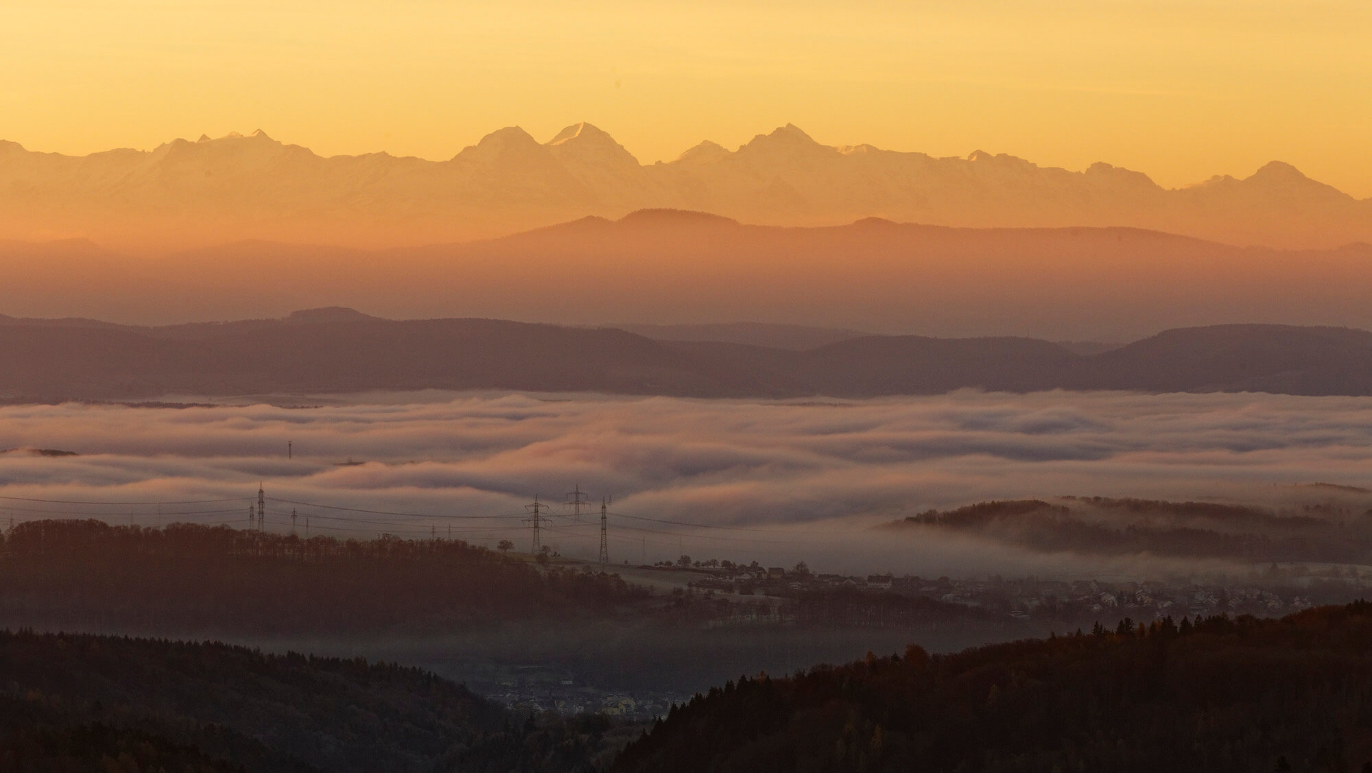
A marvellous hiking region stretches out between Eptingen, Waldenburg and Langenbruck. Romantic walks over rocky ridges lead the way up to the Belchenfluh. At 1098.9 metres the summit offers an impressive panorama. The “Belchen Triangle”, on the upper Rhine, consists of the Black Forest Belchen, the Swiss Belchen (Boelchen, Belchenfluh) and the Vosges Belchen (Ballon d’Alsace). They have been linked with one another since Celtic times when they were used for orientation and for time measurement. The heavenly bodies, especially the sun and the moon, are the hands and the countryside is the face of this geo-astronomical clock. The free standing summits made it possible to see the extremities of the planetary orbits and served as reference points in the celestial calendar. The “hands” nearly always carry the same name: Belchen or Ballon (Belenus = Celtic Sun God), as observation points for the sun, and Blauen as reference point for the position of the moon. If you stood, for example, on the Ballon d’Alsace at the equinox the sun would rise directly over the Badische Belchen. Similarly at the winter solstice, the 21st of December, the sun would rise directly over the Belchenfluh. Belchenfluh also offers a fantastic view of the Alps, the Black Forest and the Vosges.


