
Burial mound, witches' meeting place, lunar calendar

Villingen can look back on a long and rich history. In 999, Emperor Otto III granted the town market, coinage and customs rights. The Zähringers re-founded Villingen in 1119 on the right bank of the Brigach, creating the typical street crossroads found in Zähringer towns. After almost five hundred years of belonging to the House of Habsburg as a city in Further Austria, Villingen became an administrative city in the Grand Duchy of Baden in the 19th century. Parts of the former inner city wall have been preserved, and many older houses in the old town with its large pedestrian zone can transport visitors back to earlier times. You are transported to completely different, much older times when you take the new ‘Celtic Trail’ to Magdalenenberg.
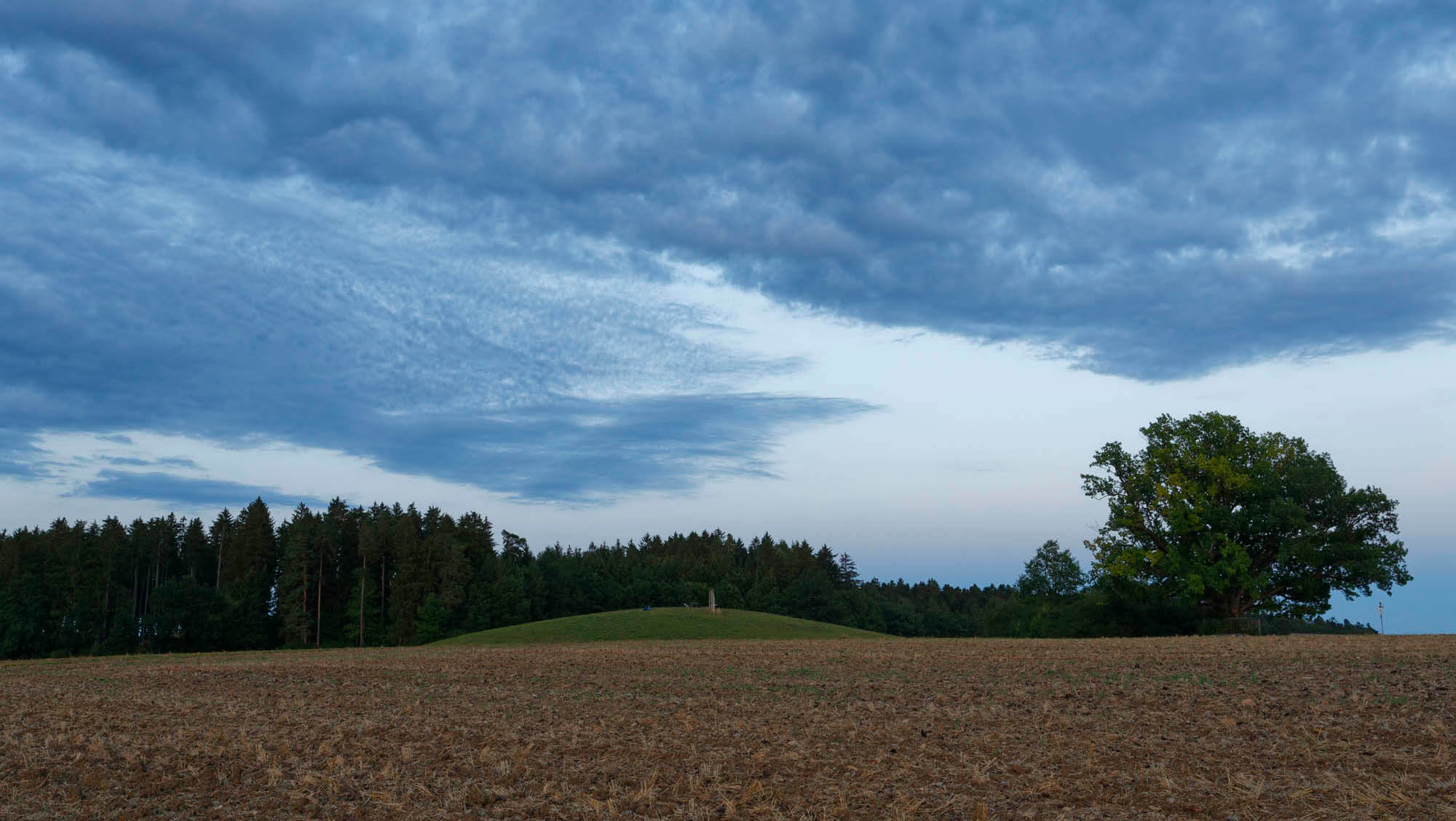
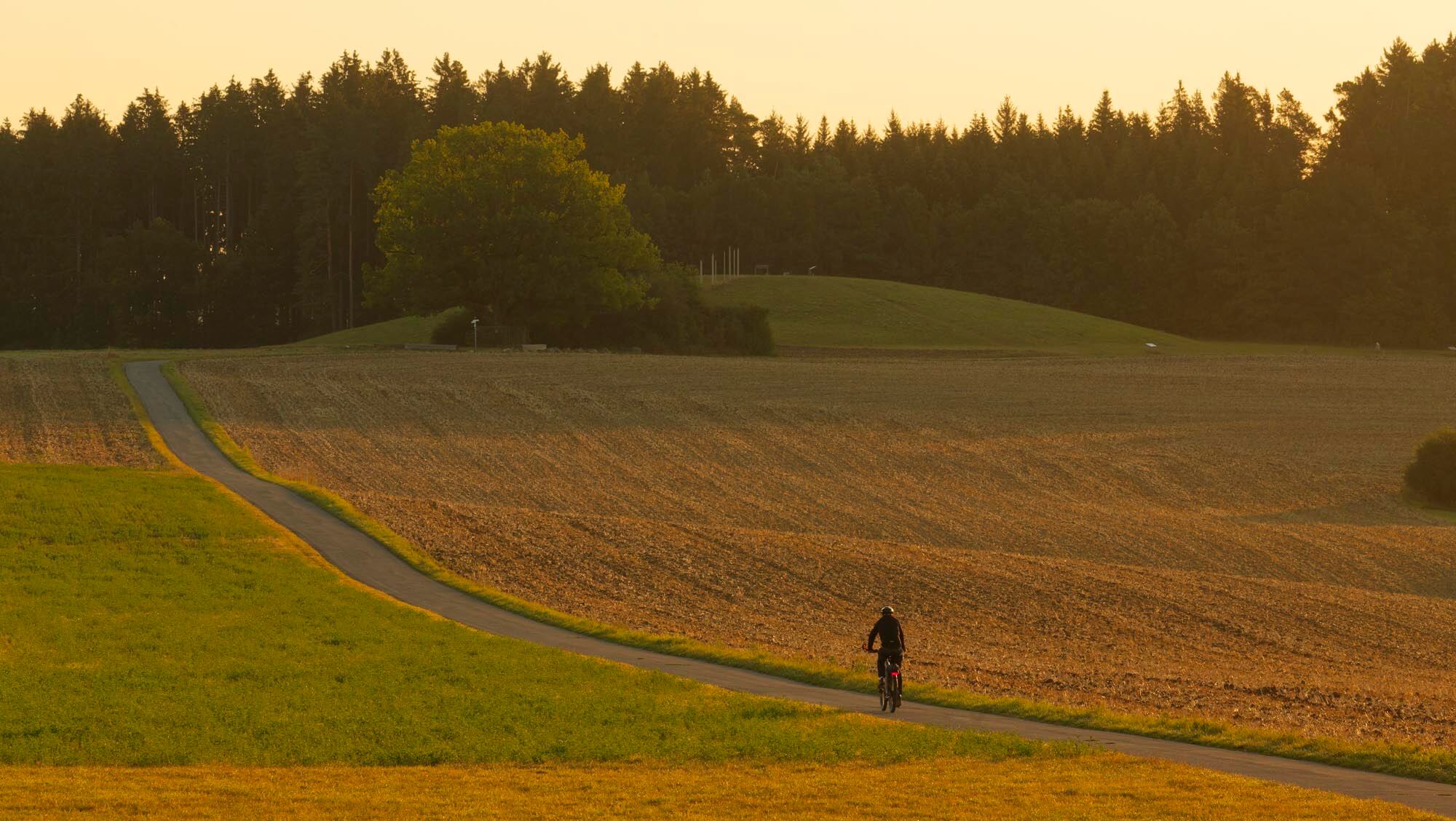
The flat ridge southwest of the town is partly used for agriculture, and part of it belongs to the ‘Laible’ forest area. A wide view sweeps over the Baar plateau, and on a clear day you can even see the Alps. Numerous paths invite walkers, joggers and cyclists to enjoy this fantastic expanse. The whole area is crowned by a huge flat hill, which only catches the eye at second glance, but is clearly man-made. New information boards help visitors find their way around this strange place.
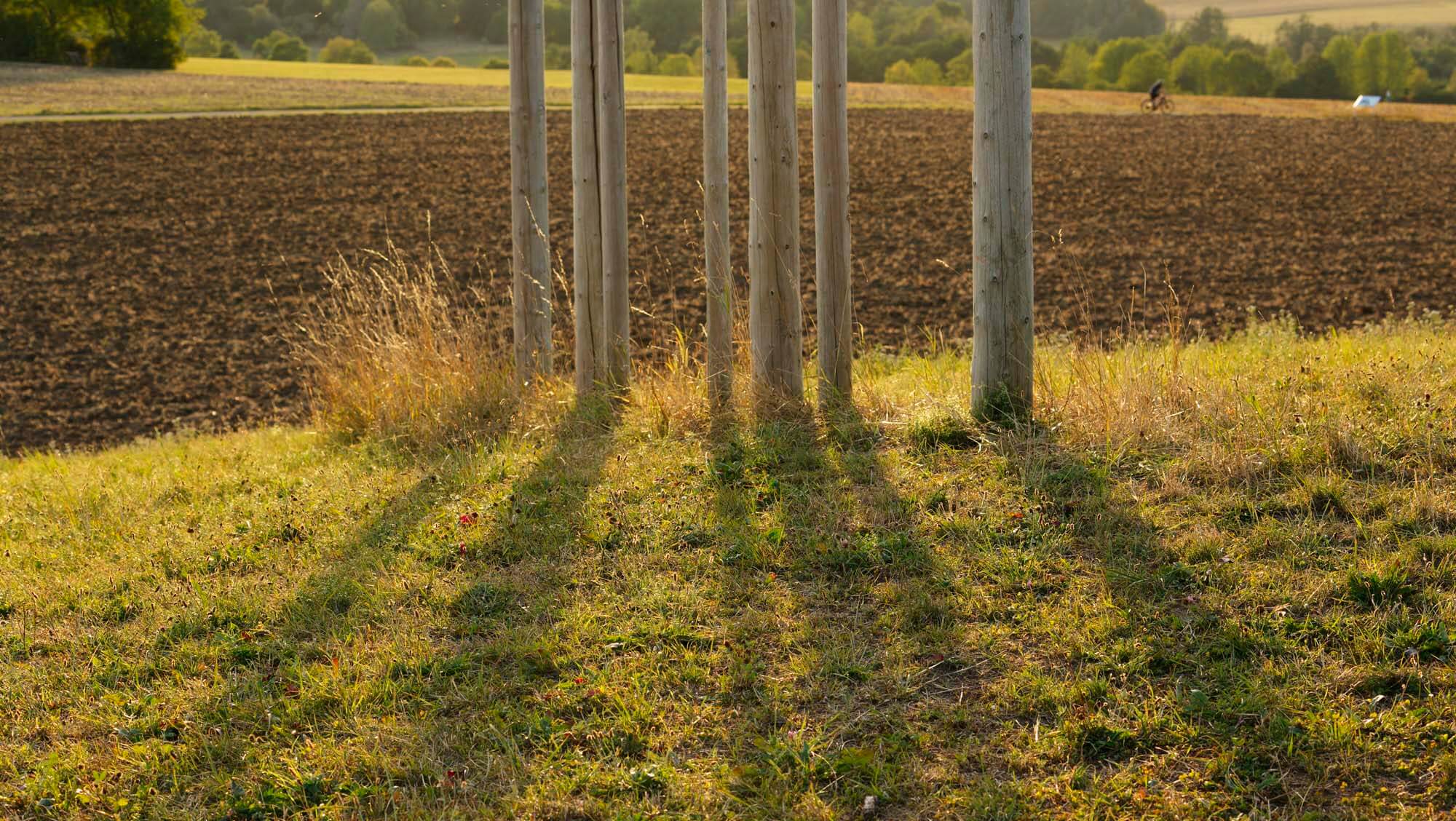
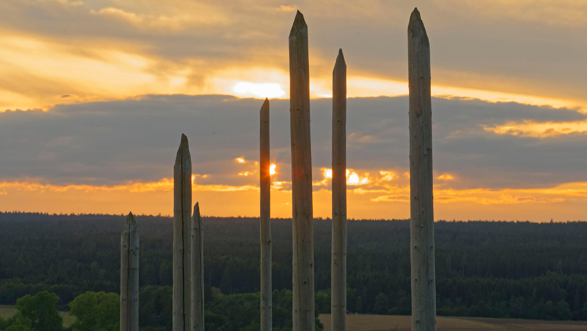
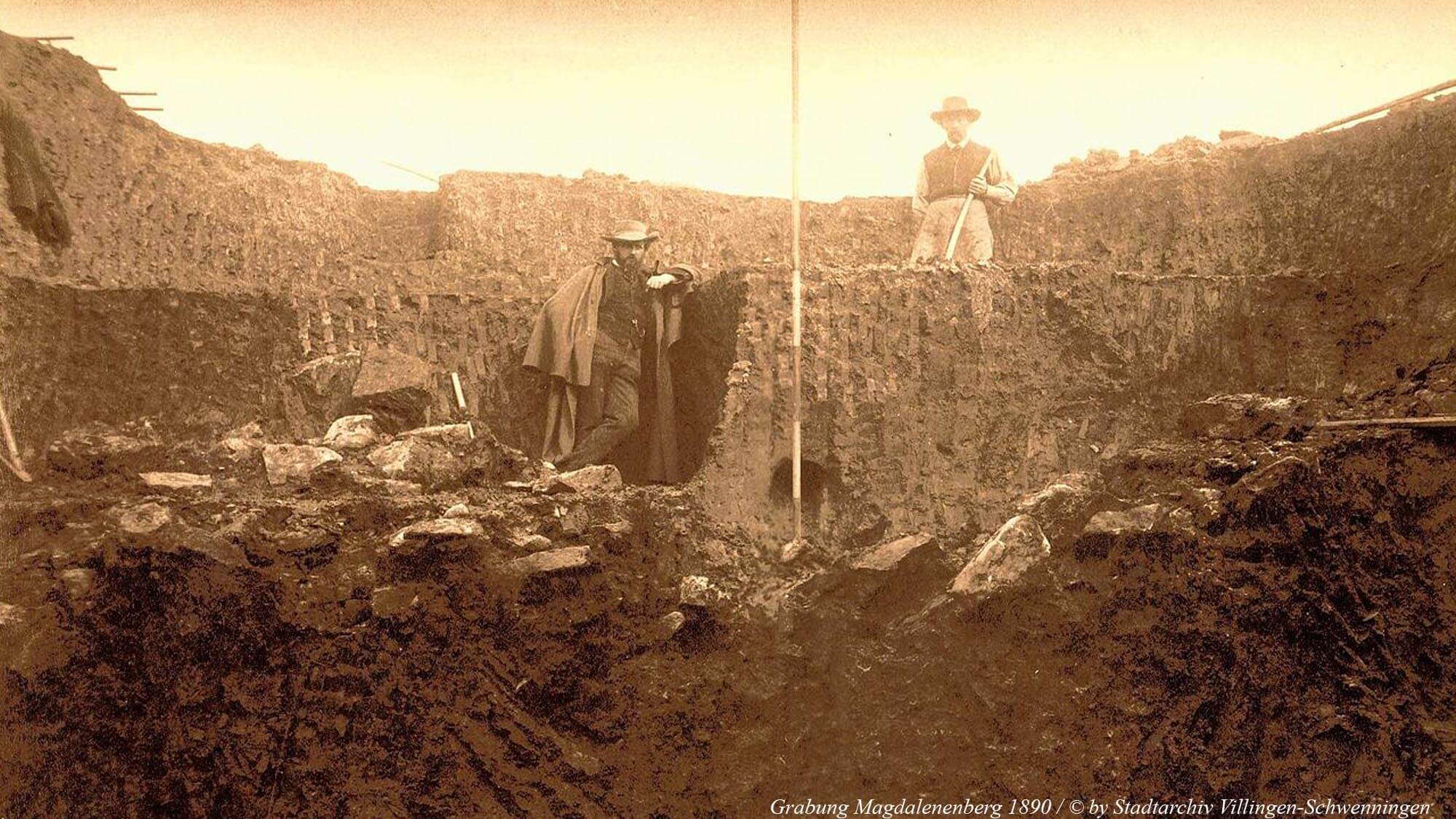
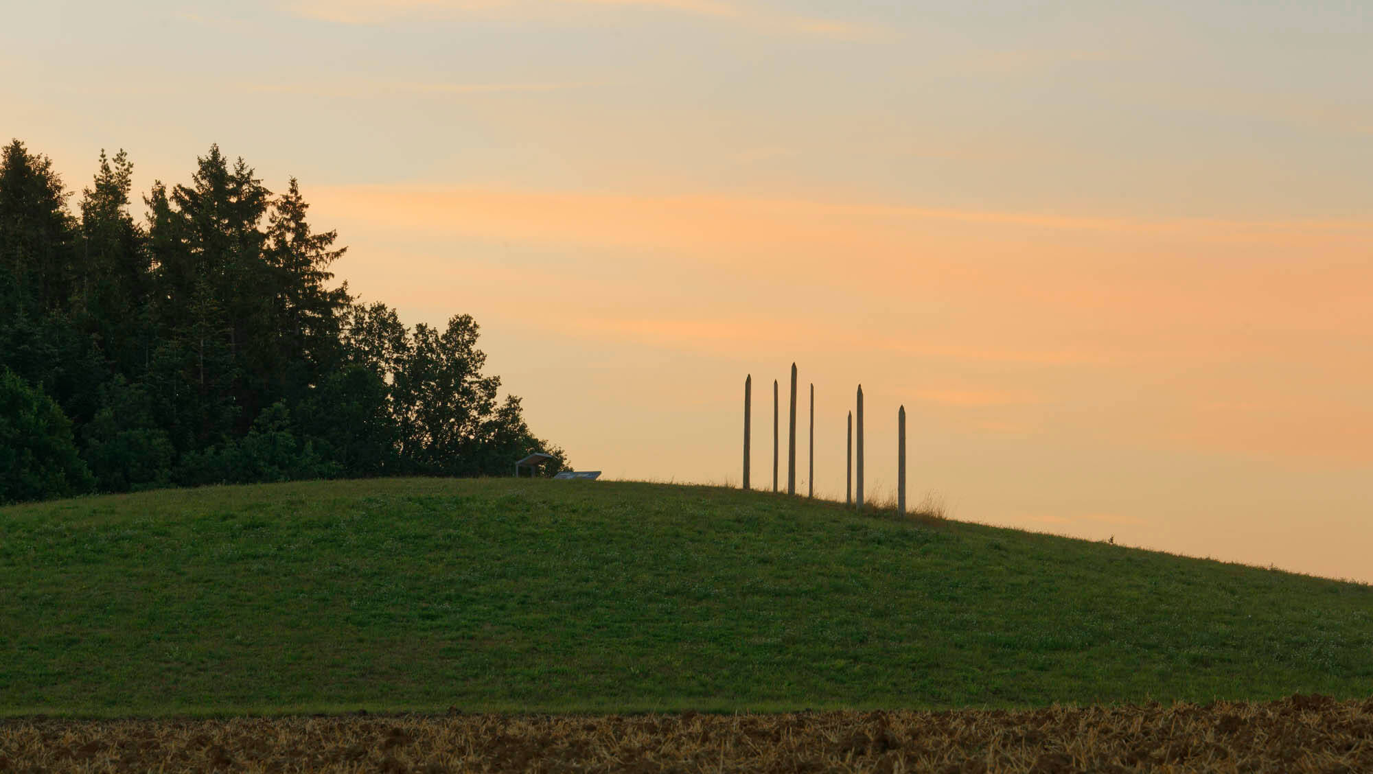
In the Middle Ages, people knew this place as ‘unheimlich’ (eerie), where witches and devils wreaked havoc. The first documented mention dates back to 1320 under the name ‘Creützbühel’; a map from 1610 shows a ‘Maria magdalenen creitz’ on the hill, and a siege sketch from 1704 shows a Lorraine cross at this location. In 1633, a citizen confessed under ‘painful interrogation’ – the term used for torture at the time – to having danced with the devil on the hill under the name ‘Cäsperlin’. Later, it seemed to fall into oblivion. It was not until the end of the 19th century that attention was drawn to the hill, and in 1890 an excavation took place, initially with great difficulty as a large amount of water was stored in the hill. However, this moisture led to the unique preservation of organic material such as wood, leather, fur, hair and textiles. At a depth of 6 metres, a large burial chamber became visible, formerly very richly furnished, obviously a ‘princely tomb’. In the 1970s, further excavations were carried out, leading to many new, exciting and puzzling discoveries. At that time, the thick oak beams of the 6 x 8 metre burial chamber were also lifted and preserved. They have since been on display in the Franciscan Museum, accompanied by many other wonderful finds. Dendrochronological analysis of the wood made it possible to determine the date of the burial as 616 BC. Tools were even found that grave robbers had used just 50 years later to rob the ‘prince’ of his valuable grave goods. Further discoveries caused a great stir: there were additional burials around the central chamber, with at least 126 graves containing 143 individuals having been added to the mound at a later date! All the skeletons showed a very striking orientation, grouped in a circle around the central burial chamber, with their heads clockwise in the north-eastern half and in the opposite direction in the south-western half of the mound. Among the most astonishing and mysterious findings were five radial rows of upright posts, the wood of which was also very well preserved. One of these ‘pole settings’ has been superficially recreated on the mound for illustrative purposes.
With a diameter of over 100 metres and a height of around 8 metres, the ‘Magdalenenbergle’ is one of the largest burial mounds of the late Hallstatt period in Central Europe. As well documented as the modern excavation is, there are still many unanswered questions: Where did the people settle at that time? Was there a ‘princely seat’? Did the exposed location on the ridge have a special function? Did the wealth come from iron ore mining, or was this a crossroads of trade routes?
Some researchers examined the reburials from an archaeoastronomical perspective: it is obvious that celestial objects are part of our environment and structure this world, that they clearly and permanently structure space and time for us. Did people observe the stars back then? Can a connection to a lunar calendar be proven from the ‘pole settings’? Can constellations actually be deduced from the location of the graves? Did the mound therefore also have a sacred function? Can this give us an idea of the world of ideas and concepts of the people?
There are several other large burial mounds: the ‘Judenbühl’ near Neuhausen/Königsfeld, the ‘Fürstengrab’ near Hochdorf/Enz, the ‘Kleinaspergle’ near Hohenasperg, the ‘Bürgle’ near March Hugstetten, the ‘Fürstengrab’ near Kappel-Grafenhausen, and several burial mounds near Breisach am Rhein. Such burial mounds are the most striking evidence of early Celtic funeral customs. In addition to personal jewellery made of bronze or gold, the graves also contained grave goods such as weapons, ceramics, bronze tableware, carriage parts and even pieces of furniture. Particularly rich graves are referred to as ‘princely graves’. Many objects bear witness to extensive contacts with the south and were valuable prestige goods. Inconspicuous cremation graves between the mounds are considered to be the burials of the ‘ordinary’ population. During the La Tène period, the burial mounds were replaced by uniformly equipped flat graves. Only a few smaller cemeteries of this type are known. At the end of the Celtic era, a fundamental change in burial customs apparently took place: human skeletal remains are now increasingly found in settlements, suggesting a multi-stage burial method and the preservation of individual bones as part of an ancestor cult.