
Temple district on the highway

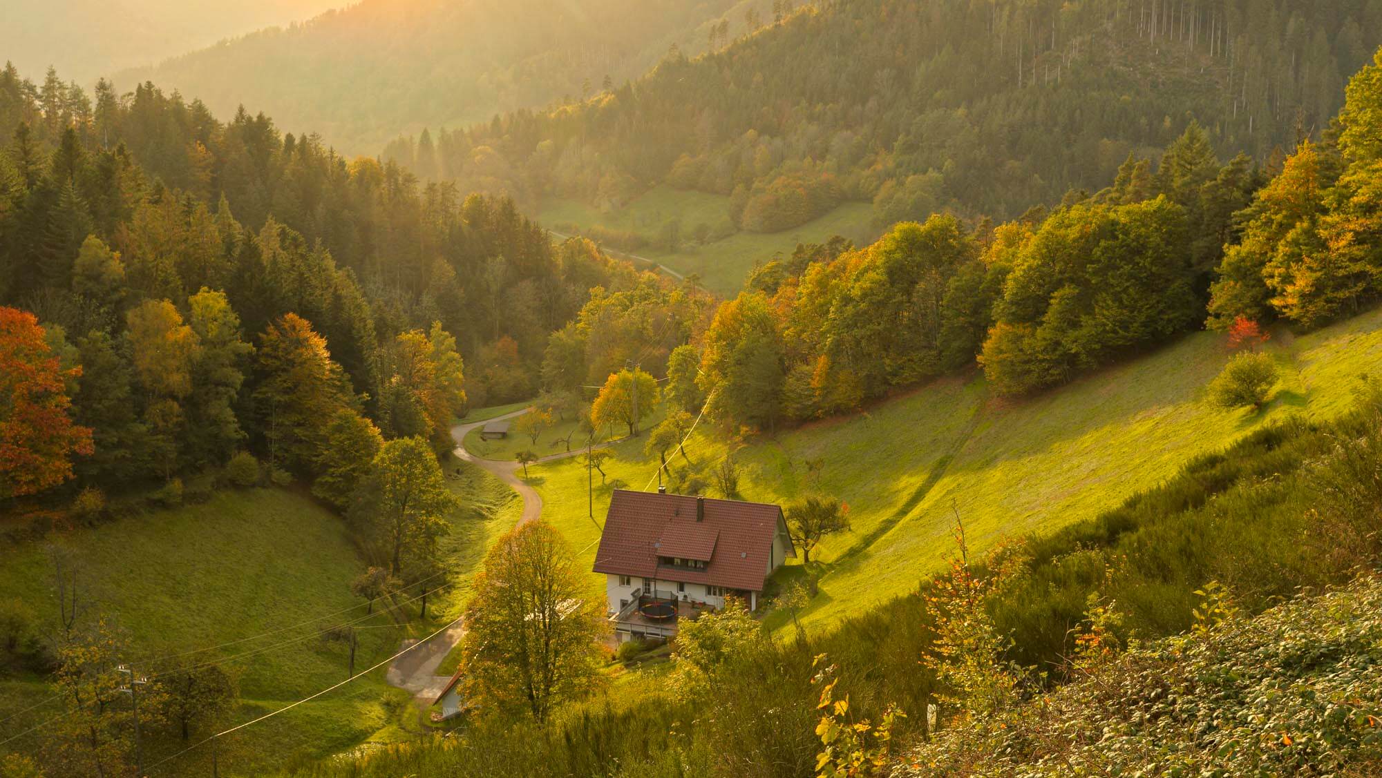
The Baar plateau ends in the west with a dramatic drop into the steep and deep valleys of the Kinzig and its tributaries. The old border between the Kingdom of Württemberg and the Grand Duchy of Baden runs in sections along this escarpment. There are wonderful views in all directions: to the east over the Baar to the Swabian Alb, and to the west over the hills of the central Black Forest. Brandsteig, just under 5 kilometres north of Aichhalden, is a very special place. The village is also known as ‘Schänzle’, which is said to refer to a fortification built here during the Baroque period. No traces of this fortification remain. The name ‘Stadt’ is also commonly used locally, which goes back to the legend of a former settlement. There is also no trace of the former pilgrimage chapel ‘Zum Heiligen Kreuz’ (To the Holy Cross), which stood on the remains of Roman walls. Still depicted in the ‘Rottweiler Pürschgerichtskarte’ (Rottweil hunting court map) in 1500, it disappeared after the Reformation.
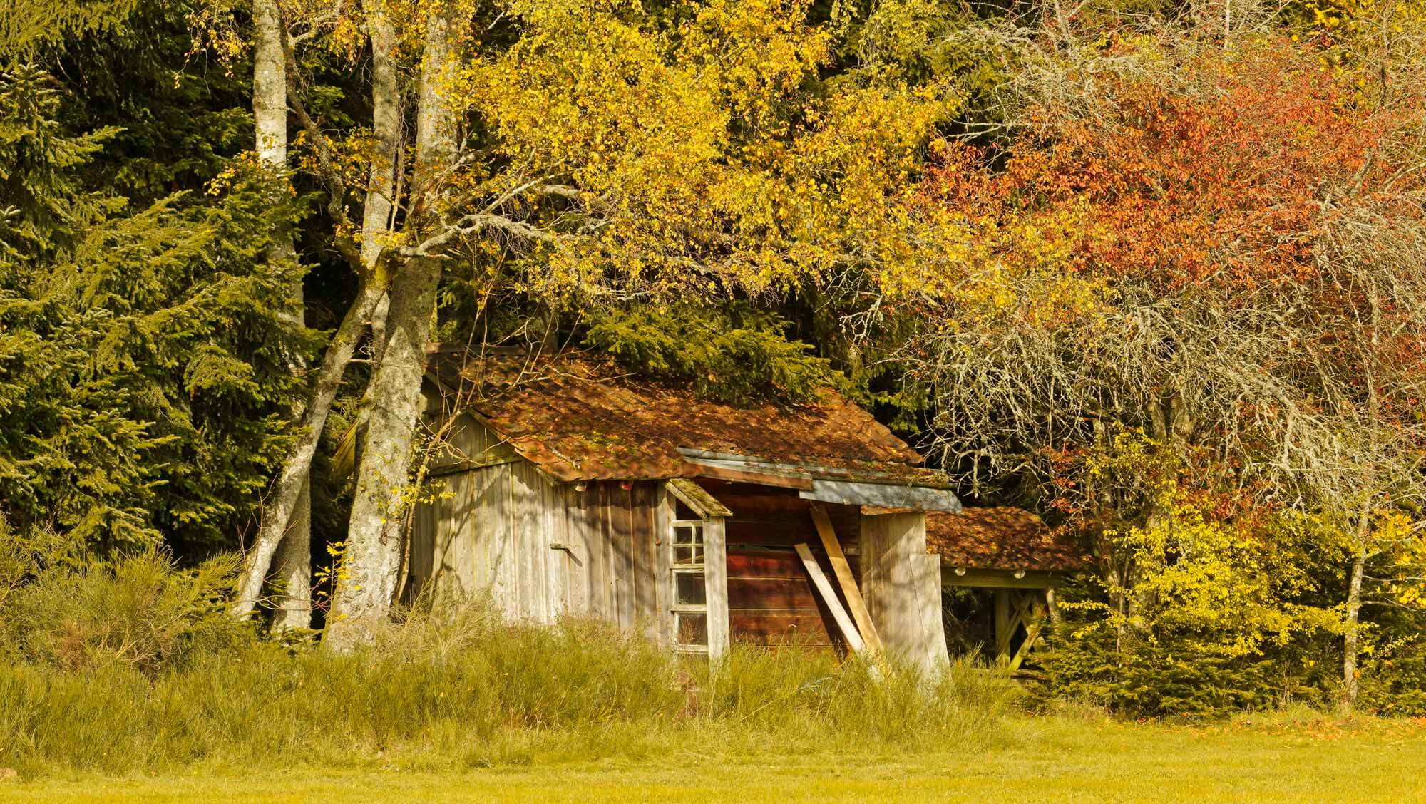
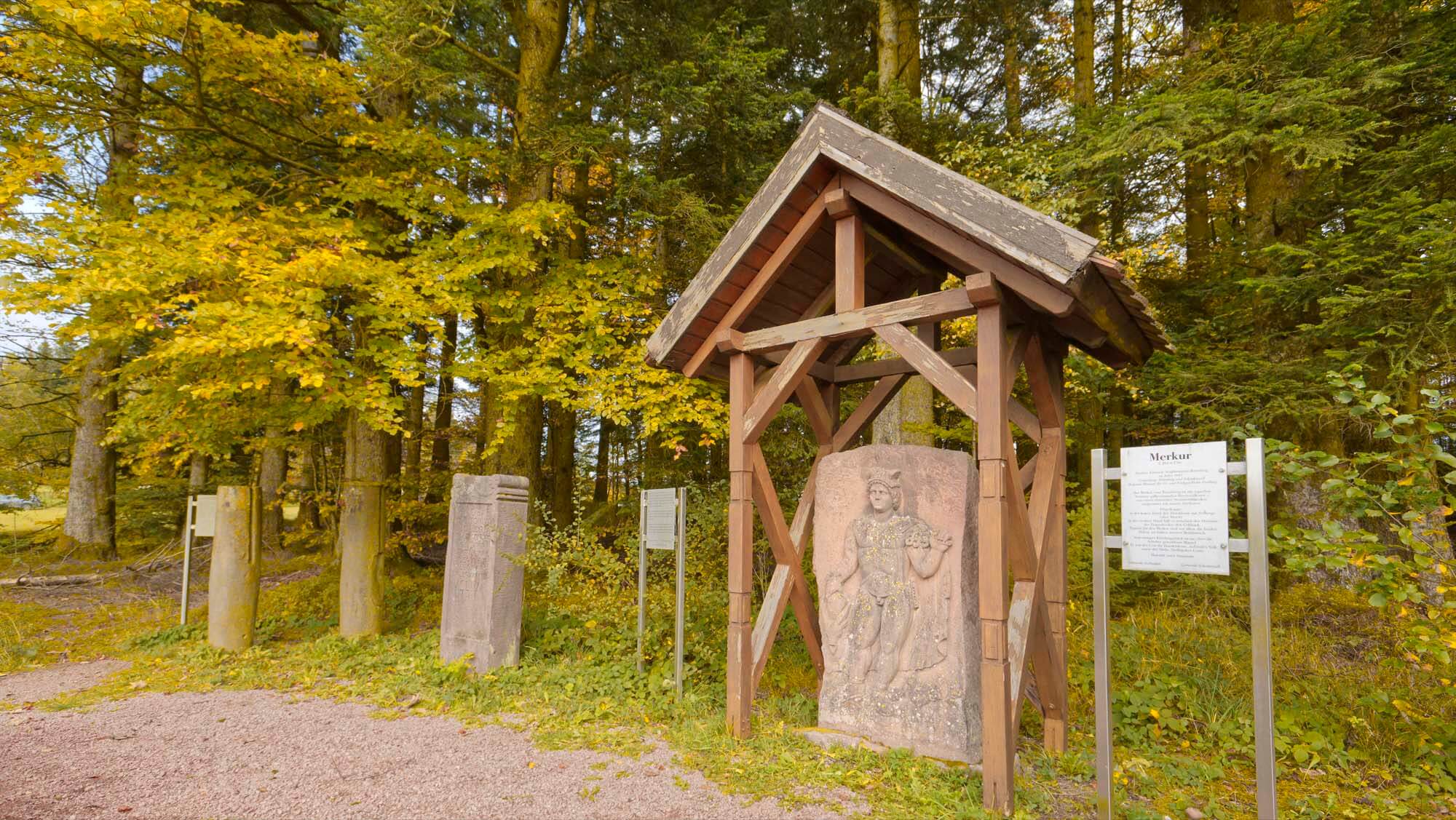
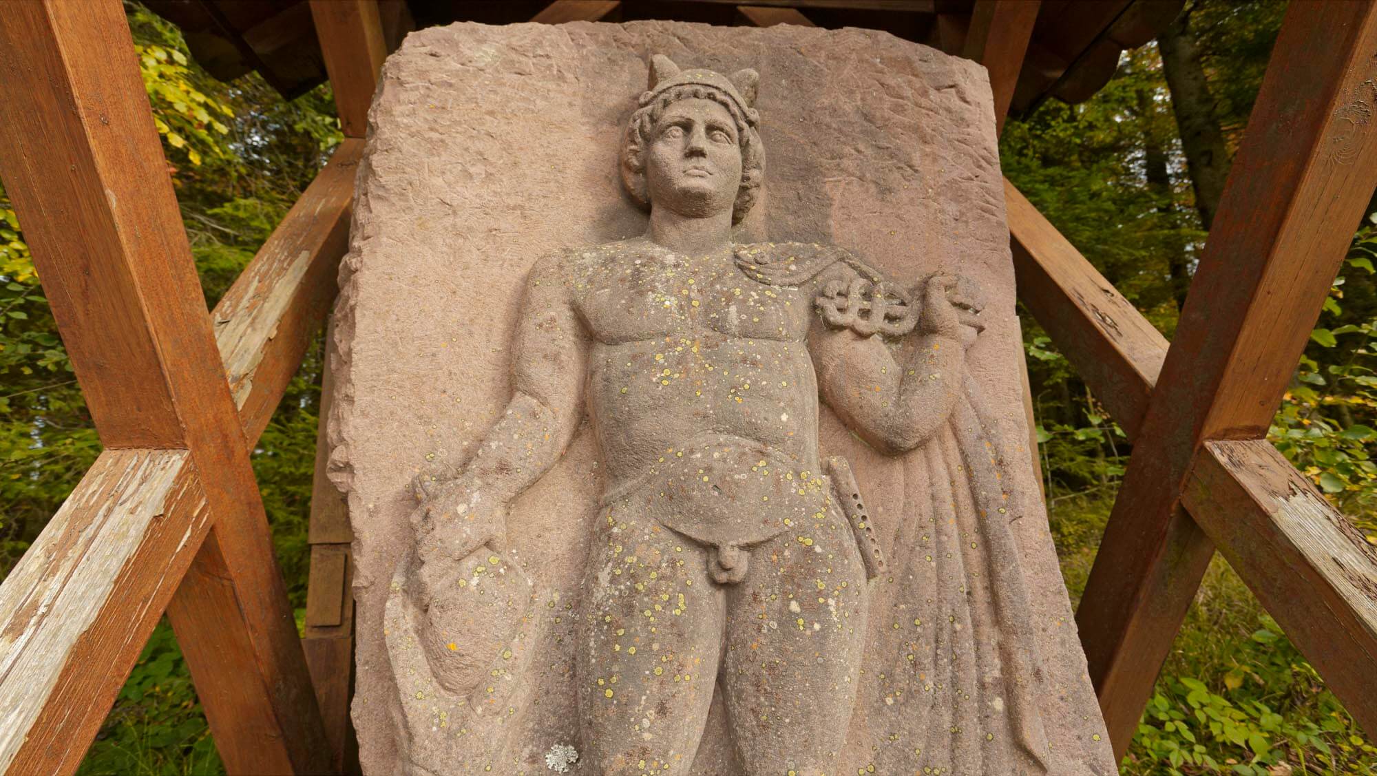
An infinite tranquillity reigns, with only three houses standing here. A few steps further, at the edge of the forest, there is a picnic bench, next to which are a few Roman stones: two original columns and a votive stone (reproduction). A large statue of Mercury is a replica of a find made in 1983 near Schenkenzell. These stones were erected here a long time ago. A plaque declares it to be a Roman road station – but this has since been proven to be outdated and incorrect.
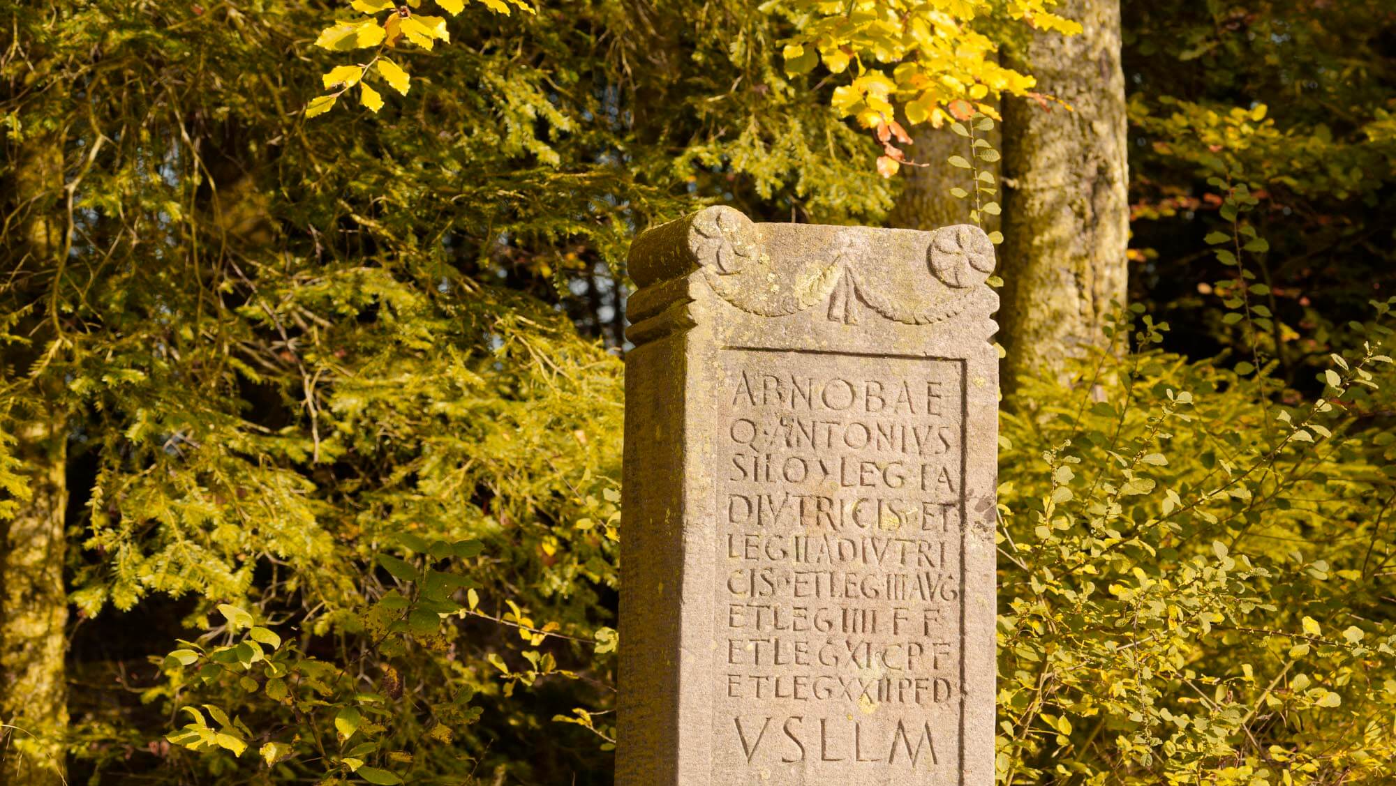
At the ‘Brandsteig’ near Aichhalden-Rötenberg, Roman wall remains were already documented in 1770 when a vault collapsed. The resulting hole was ‘surrounded by a fence to prevent grazing cattle from falling down’ – as the historian and pastor of Marschalkenzimmern, Friedrich August Köhler (1768 – 1844), wrote in a report dated 23 June 1840. There was a flurry of excavation activity to obtain building materials. Pastor Andler had some columns taken to the church in Rötenberg, while others were smashed or built into houses. Old reports suggest that many inscribed stones, columns and coins were lost over the decades. An altar discovered at the spring in 1825, which was dedicated to the local goddess Abnoba around 90 to 96 AD, was lost in 1944 in the Lapidarium in Stuttgart during a bombing raid. It was a pious donation by Quintus Antonius Silo, centurion of the 22nd Legion, who gave thanks for the protection he had requested during his journey through dangerous forests. Since a find report in 1909, the ‘Brandsteig’ was considered the prototype of a mansio, i.e. a road station where travellers could spend the night and change horses.
It was not until January 2013 that new investigations were carried out using ground-penetrating radar – and the results exceeded all expectations. The ‘Brandsteig’ turned out to be a large temple district typical of the Gallic-Germanic provinces. This explains the large number of Roman columns, capitals and inscribed stones that have been found in Rötenberg and the surrounding area. There were at least seven ambulatory temples within a walled enclosure. Inside, the image of the god was placed in a shrine, which the faithful were not allowed to enter, but only to walk around. There were other buildings, most of which probably had a cultic function. Additional structural elements can be found on the surrounding wall, some of which are interpreted as storage rooms, others as accommodation for staff and pilgrims. Comparable sites can be found in the Trier region in particular, such as the sanctuaries of Gerolstein-Pelm, Tawern-Metzenberg and Hochscheid, but also in Switzerland.
In Roman times, there was a mountain pass sanctuary on the ‘Brandsteig’ along a long-distance road. Travellers, such as the centurion mentioned above, gave thanks here for the successful crossing of the Black Forest and the ascent from the Kinzig Valley, donated coins, bells and other votive offerings, and prayed for a safe journey. The name of the nearby parcel of land ‘Etzenbühl’ suggests a “blurred” word and could originally have meant ‘Götzenbühl’ (idol hill), which also suggests that it was originally a sacred site, later interpreted as pagan.
A military base at the intersection of the Kinzigtalstraße Strasbourg–Augsburg and the Römerstraße Windisch–Köngen was elevated to a Roman city around 100 AD, giving rise to the Roman Arae Flaviae. Rottweil is thus probably the oldest city in Baden-Württemberg. The Kinzigtalstraße was built under Vespasian immediately after the Roman occupation of the upper Neckar region in 74 AD. At the ‘Brandsteig’, the ascent from the Kinzigtal valley was completed. A spring with a high flow rate located there was probably the deciding factor in the founding of this sanctuary at the pass of the long-distance road.
The further course of the road from the Brandsteig via the Waldmössingen fort to Rottweil is mostly easy to follow in the flat and open terrain. This makes the route of the steep ascent from the Kinzig Valley all the more puzzling. East of Schiltach, a difference in altitude of 400 metres had to be overcome within a few kilometres. Did the ascent begin in Schenkenzell? Or in Schiltach? And how should the crossing at ‘Zollhaus’ be classified? The Roman route ran through the Kaibach Valley up to the Brandsteig. However, after the Romans lost the areas on the right bank of the Rhine, the Kinzigtalstraße lost its importance. It was probably forgotten in the sparsely populated mountain valley and fell into disrepair. Many centuries later, new rulers needed new routes. As early as 1386, the Schiltacher Steige was mentioned as one of the few cross-Black Forest connections and enjoyed supra-regional importance. The Schiltacher ‘Auf der Staig’ is located on an intermediate plateau, above which rises the ‘Schlößleberg’ with the ruins of Willenburg Castle. It was built in the 12th century by the Zähringers to control the traffic route to Rottweil. The path turned south of Willenburg Castle and led from there past Breitreute to Aichhalden. On this medieval road, you can still occasionally find the remains of the old stone slabs with cart tracks in them. On a map of the ‘Gräffl. Fürstenbergischen Herrschaft im Kintzgerthal’ (Gräffli. Fürstenberg dominion in the Kintzgerthal valley) from 1655, Johann Jakob Mentzger marked a customs house. It is the building still known today as the customs house, where the current Steigstraße road joins the road between Aichhalden and Rötenberg. It is not known when this new Steigstraße continued north of Willenburg Castle or when the customs house began to function as such. By 1700 at the latest, the southern variant had fallen into disuse. Modern forest management is seriously threatening these ancient traces, and such unique cultural and historical evidence of medieval road construction is in danger of disappearing forever.
 Wanderung zur Willenburg